


Can I Trial groundMapper Before Buying It?
The best option is to ask for a demo of groundMapper first, so you can see how it would work with your organisation’s data and workflows. That way, we can show you how and where groundMapper delivers most value.
A useful evaluation goes beyond seeing whether the map interface is easy to navigate. We’ll cover all the questions our customers usually ask, and which may be on your mind too:
• Can users find and interrogate the information they need easily?
• How will your own asset or project data be incorporated?
• Which Ordnance Survey or third-party datasets need to be available?
• Can different users be given appropriate access and permissions?
• How will groundMapper fit alongside your existing GIS and business systems?
• Can non-GIS specialists use it without extensive training?
These questions help determine whether groundMapper solves the practical problem that prompted your search for a web GIS in the first place.
Can you demonstrate groundMapper using a real use case?
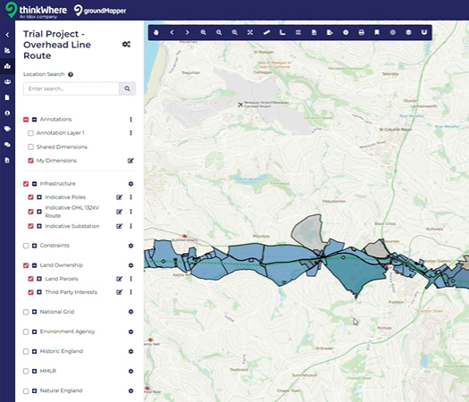
Yes. Rather than evaluating a generic map, we can identify a representative workflow. Something that might involve an engineer locating network assets, a land team investigating affected properties or a project manager viewing proposed works alongside environmental constraints.
This gives you a clearer basis for determining the data, functionality and configuration required.
What should I provide before requesting a demo?
You won’t need to share a complete technical specification. Just let us know who needs to use the platform, what they need to do and which data they currently work with is enough to begin the conversation. Details of existing GIS systems and any likely integration requirements are also useful.
We can then demonstrate groundMapper against those requirements and talk through the most appropriate way to evaluate it before committing to a deployment.
Latest News
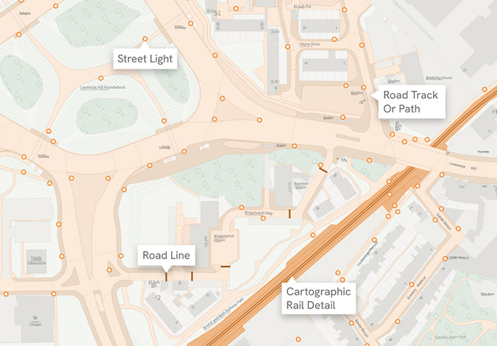
OS NGD Explained: A beginner’s guide
Learn what the OS National Geographic Database (OS NGD) is, how it works, and why it matters. A simple guide to Britain’s next-generation geospatial data platform.
Read Full Article-
UK geospatial data licensing - A practical guide
Read Full Article -
Six Location Data Challenges for Consultancies | Emapsite
Read Full Article