


Utility Search vs Utility Survey: What's the difference?
A utility search and a utility survey both help you understand what services may affect a site. The difference is how that information is gathered.
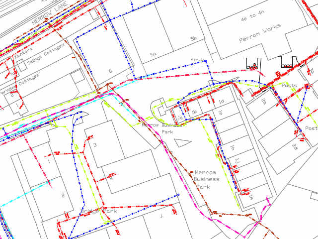
A utility search is a desktop report. It gathers data from utility companies, helping you see what assets may be present in and around the site. These can include electricity, gas, water, sewerage, telecoms, fibre and other networks, depending on the report ordered.
A utility survey usually involves physical work on site, using specialist equipment to locate and map underground services. Depending on the survey specification, that may include electromagnetic detection, ground penetrating radar or, if appropriate, verification work.
In simple terms, a utility search shows what utility records suggest may be there, while a utility survey investigates what can actually be detected on site.
Utility records are extremely useful, but they are still only records – on paper, created some time ago. They may be incomplete, out of date, or based on insight supplied for other reasons. A search report gives you an essential early view of risk, but it should not be treated as proof of what’s on site, where.
A utility survey gives you a more detailed site-specific picture. It is often needed when a project is moving towards groundworks, excavation, detailed design or construction. In the UK, PAS 128 provides a recognised specification for underground utility detection, verification and location, with different survey types and quality levels depending on the evidence used.
So which one do you need – survey or report?
For early-stage due diligence, site appraisal, feasibility work, land purchase, planning or initial design, a utility search report is the right place to start. It can help identify affected utility companies, likely constraints, possible diversion issues and areas where further investigation may be needed.
For intrusive works, excavation, detailed design or higher-risk construction activity, a utility survey may be required. That survey can help reduce the risk of utility strikes, redesign, delay and safety incidents by giving the project team more reliable information about what is present below ground.
In many cases, the two work together. A utility search can provide the first layer of intelligence. A survey can then build on that information and test it against conditions on the ground. The most important point is to choose the right level of utility information for the stage of the project.
If you need a clear view of utility records for a site, emapsite can help you order the right utility search report. Whether you need broad coverage, a fast-track option or a single-network report, the aim is to give you practical utility intelligence early, so you can manage risk and keep the project moving.
How Emapsite can help
If you can't find exactly what you need, we can help you choose the right mapping data solution for your project via email, chat or over the phone.
For more information, reach out to our Customer Support team.
Need help with another topic? Learn more in our Knowledge Hub.
Latest News

OS NGD Explained: A beginner’s guide to Ordnance Survey’s National Geographic Database
Learn what the OS National Geographic Database (OS NGD) is, how it works, and why it matters. A simple guide to Britain’s next-generation geospatial data platform.
Read Full Article-
UK geospatial data licensing - A practical guide | OS Mastermap licensing explained
Read Full Article -
Six Location Data Challenges for Consultancies | Emapsite
Read Full Article