
Authoritative UK Mapping and Geospatial Data for Professional Use
Emapsite supplies digital maps and geospatial datasets from Ordnance Survey and other authoritative sources, supporting planning, infrastructure, utilities, property and environmental professionals across the UK.
Our digital mapping products provide accurate, structured geographic data for use in GIS and CAD systems, enabling organisations to analyse land, assess risk, design infrastructure and manage assets with confidence.
Whether you require detailed base mapping, address-level intelligence, terrain modelling or transport network data, our digital datasets provide the foundation for informed spatial decision-making.
All data is available in industry-standard GIS and CAD formats, with licensing support and guidance available.
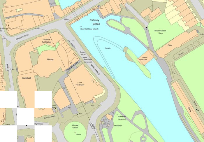
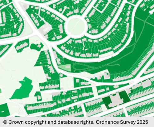
OS MasterMap® Products
Includes over 500 million real-world features such as buildings, roads, land parcels and boundaries. Structured, vector-based and designed for use in GIS/CAD systems. Supports planning, infrastructure design, utilities mapping and asset management. Also used for environmental analysis and spatial planning projects. Ideal for high positional accuracy and authoritative mapping detail.
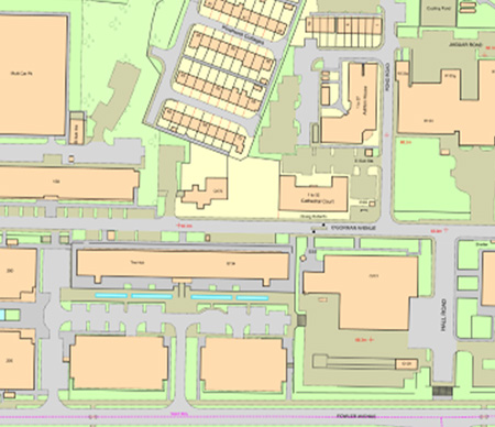
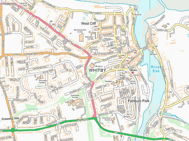
Base Mapping
High-quality base mapping for Great Britain and Northern Ireland from Ordnance Survey and Land & Property Services. Available in vector and raster formats at multiple scales for GIS and CAD. Provides a reliable geographic framework for planning, engineering design, asset mapping, land referencing and spatial analysis.
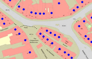
Address Data
Comprehensive georeferenced address datasets including Unique Property Reference Numbers (UPRNs), covering Great Britain, Northern Ireland, the Isle of Man and Channel Islands. Designed for GIS, CRM and asset systems to support customer matching, service delivery optimisation, property analysis and location intelligence.
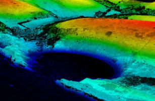
3D & Terrain Data
High-resolution elevation data for Great Britain derived from LiDAR and aerial photography. Provides Digital Terrain Models (DTM) and Digital Surface Models (DSM) for spatial modelling, flood risk assessment, drainage analysis, infrastructure route planning, line-of-sight studies and 3D visualisation.
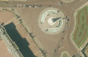
Aerial Imagery
High-resolution aerial imagery including vertical and oblique photography, available as current and historical datasets. Reveals land use, surface features and development changes to support planning applications, site assessments, environmental analysis and visual verification of mapping data.

Ground Stability - Geology & Soils
Ground stability datasets provide insight into geology, soil composition and subsidence risk across Great Britain. Supports developers, insurers and infrastructure operators in assessing ground movement hazards, managing climate-related soil change and reducing risk in planning, construction and asset management.
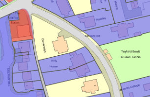
UK Land Registry Data
Land ownership and title intelligence derived from HM Land Registry data, providing insight into title boundaries, ownership patterns and property extents. Supports conveyancing, land acquisition, development feasibility studies and property research with enhanced interpretation of ownership data.
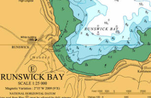
Marine Mapping
Marine raster charts and marine vector datasets supplied in partnership with Oceanwise Ltd. Provides structured marine spatial data for GIS and maritime planning, supporting coastal planning, offshore development, harbour management, environmental assessments and marine infrastructure projects.
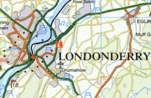
Northern Ireland Mapping
Authoritative digital mapping from Land & Property Services covering Northern Ireland. Available in formats suitable for GIS and CAD, supporting planning, infrastructure design, land referencing and property analysis while ensuring consistent mapping coverage across the UK and Northern Ireland.
Land Cover
Land cover datasets classify the physical materials covering the Earth’s surface across Great Britain, including agricultural land, urban development, woodland, water bodies and industrial areas. Supports environmental monitoring, sustainability reporting, land use analysis and policy planning.