
Seamless access to licensed mapping data – optimised for ESRI users
If you use ArcGIS Online or ESRI desktop applications, you’ll be familiar with the challenges of working with OGC-compliant web feature services (WFS). Our ESRI Feature Service is built to simplify that process - giving you direct, ready-to-use access to authoritative, detailed mapping.
There's no need to manage complex formats, host your own services, or worry about data updates. Everything is handled for you.
Whether you're supporting planning decisions, managing assets, or conducting environmental analysis, this service lets you focus on outcomes - not technical infrastructure.
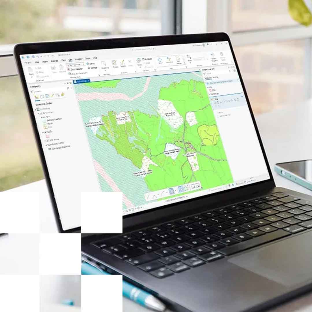

What is the ESRI Feature Service?
The ESRI Feature Service is a hosted web service that streams licensed geospatial data directly into your ESRI environment - whether you're using ArcGIS Online or desktop tools.
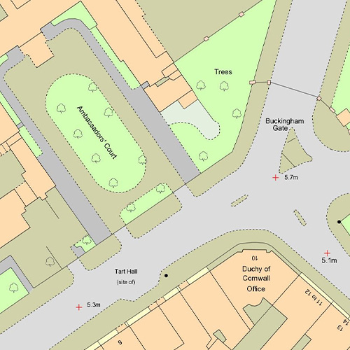
You can easily query, filter, and visualise real-world features like buildings, roads, and land parcels, with full support for:
• Spatial and attribute-based filtering
• Data pagination
• Real-time updates
If you already have a valid licence for datasets such as OS MasterMap Topography Layer, Idox Local Plans or Emapsite LandPack Land Title and Tenure, you can access that data through this service - with the added benefit of centralised account management, billing, and dedicated support via Emapsite.
Why Use the ESRI Feature Service?
Designed specifically for ESRI users, this service makes accessing and working with licensed geospatial data easier than ever:
• Fully ESRI-compatible – built for ArcGIS platforms, so you won’t face the usual compatibility issues.
• Always up-to-date – we handle all data maintenance and updates for you.
• Advanced filtering – run spatial and attribute queries with ease.
• No hosting needed – all infrastructure is managed on your behalf.
• Single point of contact – data, licensing, and expert support from one place.
• 99.9% uptime – reliable performance, weekday support from our UK-based team.
Use Cases:
Already in use across both public and private sectors, this service supports:
• Urban planning and zoning
• Environmental monitoring and analysis
• Infrastructure and asset management
• Land ownership and commercial property insights
Available datasets:
• OS MasterMap Topography Layer
• Idox Local Plans
• Emapsite LandPack Title and Tenure
• More datasets coming soon
Simple licensing
If you already hold a valid data licence, you’re ready to go.
If not, we’ll help you get set up - just choose the number of calls you need, and you'll have clean, reliable access to the data through our hosted service.
Try it for free
Explore the service with our two-week free trial.
Just tell us which dataset you'd like to try, and we’ll give you access to a sample area so you can see how it fits into your workflows.