
Emapsite provides a huge range of digital mapping services for the professional. We work with a network of suppliers, including the Ordnance Survey, to ensure we can offer our customers a choice of content and formats to suit their individual requirements.
In addition we have products that are unique to Emapsite, built to meet the needs of our customers. We’re always open to ideas for new digital mapping services, so please let us know if you spot a gap that needs filling!
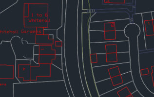
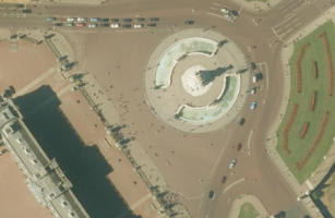
OS MasterMap® Products
OS MasterMap® and other large scale digital mapping services for when you need that extra level of detail.
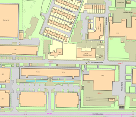
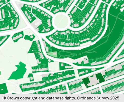
Base Mapping
High-quality base maps for Great Britain and Northern Ireland in vector or raster formats. Perfect for GIS and CAD, available at multiple scales for bespoke areas. Display real-world features for accurate analysis and informed decision-making
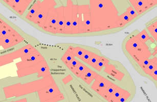
Address Data
Comprehensive address data, providing location intelligence and points of interest covering GB, Northern Ireland, Isle of Man and Channel Islands.
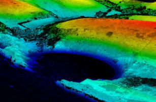
3D & Terrain Data
Emapsite provides high-resolution data for Great Britain derived from LiDAR (Light Detection & Ranging) and aerial photography by the leading providers.
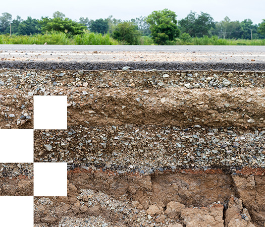
Ground Stability - Geology & Soils
Ground stability is a serious problem for everyone operating across the land & property lifecycle, not just insurers. Climate change is causing wider fluctuations in soil moisture content and increase the likelihood of soils shrinking and swelling and increasing the ground movement hazard.
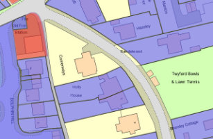
UK Land Registry Data
Emapsite's value add insight into land ownership built upon HM Land Registry Data.
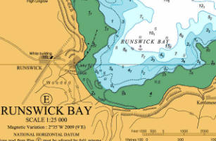
Marine Mapping | Emapsite
We provide marine raster charts and marine theme vector datasets from Oceanwise Ltd - the renowned authority in the field of marine mapping data and comprehensive solutions for the marine and coastal environment.
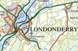
Northern Ireland Mapping
Land and Property Services' complete range of digital mapping services, available in a range of formats.
Land Cover
These products indicate the type and nature of materials cover the land in Great Britain (including natural and human-made surfaces).