Spatialise Products

Harness the power of location data

Solve your most challenging industry issues with our innovative ‘off-the-shelf’ Spatialise products.

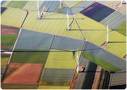
‘Off-the-shelf’ solutions, driving Net Zero

With over 20 years’ experience in using geospatial data analysis, we’ve succeeded in building high-quality, robust solutions for our clients. Designed to solve the most challenging industry-specific issues.

Our Spatialise products can provide you with the confidence to make the most informed and cost-effective decisions for your organisation.

Driving Net Zero, reducing risk, and revealing invaluable commercial insights to power your digital transformation.

image

Leverage our expertise

From custom solutions, to off-the-shelf products, our Spatialise team can identify the right dataset for your end use application.

Utilising years of deep multi-industry expertise and project-focused AI solutions, we’ve worked directly with clients to build proprietary solutions to meet specific industry challenges.

Client-Specific Solutions

We help our customers tap into a huge range of available geospatial industry data.

Curating, amalgamating, and processing a vast collection of information into our platform, products, and solutions. Accelerating your work to overcome complex business challenges.

Using this data, Spatialise can:

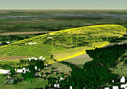
  • locate basements – a particular risk for Insurers and Utility Companies - by mining data from sources such as planning applications and building age to build a likely match.
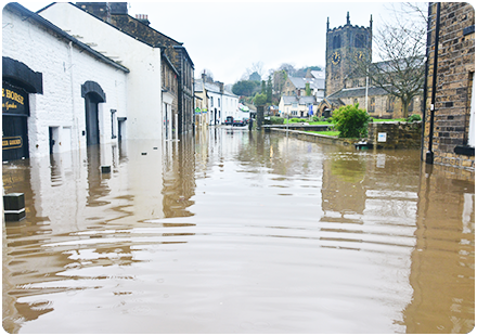
  • help calculate risk, or indeed opportunity, by using ‘proximity to’ things like rivers (flood), trees (subsidence), as well as relevant social demographics.
image

Our Products

Spatialise provides you with products to surface new insights and find trusted solutions to mission and business-critical problems.

Analysing, visualising – crystallising value – helping you to see choices clearly, pinpointing evidence-based decisions.

image

Addressible. More precise location.

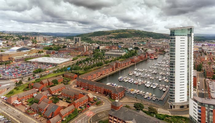
Addressible provides a geospatial reference to Royal Mail data - the ideal dataset for anyone needing to understand the precise location of customer addresses.

With Spatialise, we can provide geospatial insight by blending this data with a select choice of external datasets. Providing your teams with an almost unlimited number of ‘geospatial insight layers’ to use in their work.


Find out more
image

Commercial Property Intelligence

Commercial Property Intelligence is intended for companies considering the planning and construction of a Telecoms fibre network. Delivering the geospatial data services you need, for unique insights and better asset management.

This product helps with strategic planning and network design/build activities to improve confidence that the most appropriate route is selected every time. This product is particularly designed with network planning and business case analysis in mind.

Find out more
image

Risk & Perils: Subsidence Risk

With climate change continuing to impact the environment, flooding and subsidence are major risk factors affecting insurers, local authorities, utility companies, and property owners.

Subsidence Risk enables these organisations to understand more about these risks at an individual property level. Predicting these risks more accurately at a granular level, to good effect, across a geographically disparate book.

Using Subsidence Risk, our team deliver precise insights – mapped to your products and your proposition – via geocoding, address matching, image analysis, queries and innovative intelligence modelling. Making flood and subsidence prediction readily accessible – and cost-effective from day one.

Find out more


Phone & Email

Address

The Hub Fowler Avenue
Farnborough
GU14 7JF
United Kingdom