Digital Maps
Emapsite provides a huge range of digital maps for the professional. We work with a network of suppliers, including the Ordnance Survey digital maps, to ensure we can offer our customers a choice of os digital maps and formats to suit their individual requirements. We have also a wide range of raster and vector digital maps including Open Data.
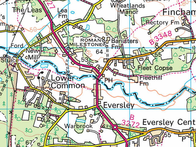
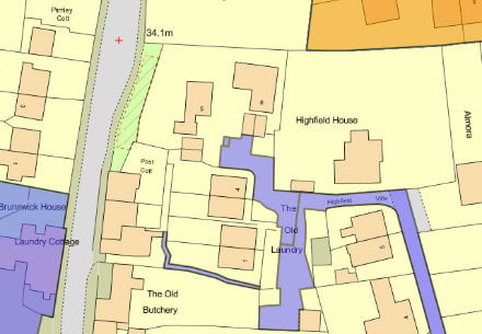
OS VectorMap Local
OS VectorMap Local® is a highly-detailed, customisable, street-level vector map, shows fences, building outlines and street names, for the accurate lie of the land.
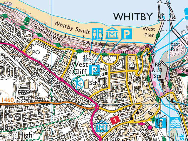
OS 1:25,000 Raster
The digital alternative to the famous OS Explorer paper map series, this popular map of Great Britain is available in bespoke cutouts or 10km x 10km tiles.
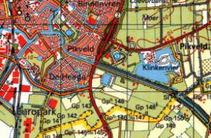
OS 1:50,000 Raster
The digital alternative to the famous OS Landranger paper map series, this popular map of Great Britain is available in bespoke cutouts or 20km x 20km tiles.
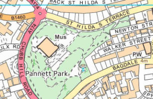
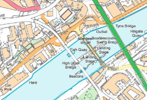
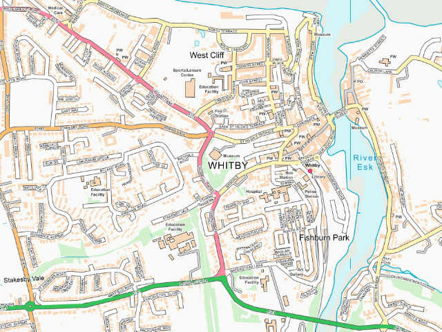
Street Level Mapping
Mapping to cover local areas at scales around 1:3,000 - 1:20,000, for use in GIS, CAD and photo-editing software.
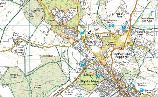
Backdrop Raster Mapping
Mid and small scale mapping including OS 1:25,000 Landranger and OS 1:50,000 Explorer
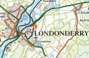
Northern Ireland Mapping
Authoritative digital mapping from Land & Property Services covering Northern Ireland. Available in formats suitable for GIS and CAD, supporting planning, infrastructure design, land referencing and property analysis while ensuring consistent mapping coverage across the UK and Northern Ireland.