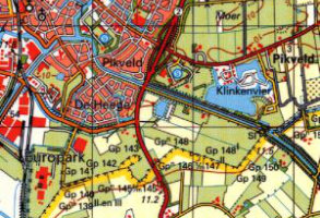
International Mapping
Mid and small scale mapping including OS 1:25,000 Explorer and OS 1:50,000 Landranger

Global Topographic Mapping
Our contacts around the world can provide topographic mapping, DEM data, satellite imagery and more.
Product DetailsWe can obtain a wide range of international mapping for our clients.
Please contact us with details of your location and area of interest and we will provide you with the best options to suit your project and budget. Our contacts around the world can provide topographic mapping, DEM data, satellite imagery and more. Mapping from a country's national mapping agency can be acquired where available digitally along with global data at smaller scales and Russian 1:50,000 raster map sheets covering much of the world. Satellite imagery can be acquired for use as is or for a base for the derivation of DEM data.
Bespoke products can also be created for you, for example the creation of vector contours from raster mapping.
Contact us at sales@emapsite.com with your requirements.
Technical Details
- Supplier
- Various
- Update Cycle
- Coverage
- Global
- Scale
- Various
- Formats Available
- Various
- Stated Accuracy
- Stated Accuracy
- Stated Accuracy
- Licence Options
- Delivery Timescale
- On request; typically can take several days
