
Ambiental UK CrimeScore™
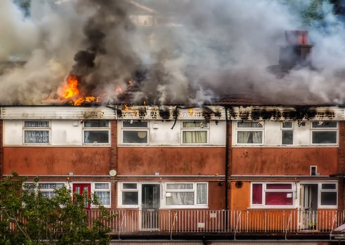
Use Ambiental UK CrimeScore™ to identify areas and properties at risk from burglary, arson and criminal damage.
UK CrimeScore™ is a dataset designed for the insurance industry
UK CrimeScore™ is a postcode level dataset. Updated annually, in April, UK CrimeScore™ provides details about insurance claims for criminal damage, burglary and arson during the period in the UK (excluding the Channel Islands and Isle of Man).
UK CrimeScore™ uses the last five years of crime data and demographic data to generate an overall CrimeScore™ for each postcode in Great Britain and Northern Ireland (excluding Channel Islands and Isle of Man).
Anyone who wants to understand the likelihood of crime will benefit from using UK CrimeScore™, but its strength is as a tool for insurers.
How accurate is UK CrimeScore™?
Spatially linked data
UK CrimeScore™ uses crime data sourced from local police forces. It contains anonymised data, spatially linked to the centre point of the street in which the crime was recorded.
Includes 2021 predictions
UK CrimeScore™ data is normalised to the number of crimes recorded per 10,000 households over the last five years (2014-2020), but it also includes a prediction for crime rates in 2021.
Easy to use
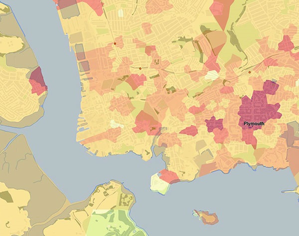
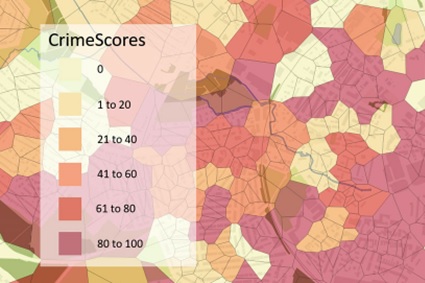
UK CrimeScore™ risk ratings range from 0-100 (100=highest) where a score of 50 denotes twice the risk as a value of 25.
What’s in UK CrimeScore™?
Coverage: UK excluding Channel Islands and Isle of Man
Formats: Spatial data (.GDB) or flat-file (.CSV)
Licence: 1-year or 3-year contracts.
Refreshed: Annually, in April.
Pricing: based on the number of properties in the portfolio.

Unrivalled resources
We simplify the supply and management of mapping products, plans and reports. Blending diverse datasets to uncover hidden commercial insights.

Business intelligence
Our spatial intelligence enables our clients to pinpoint areas of risk and reward, and to make better business decisions faster.

Proven partnership
We work in partnership, we're supportive, and we're committed to reducing our own and our clients' impact on the environment.