
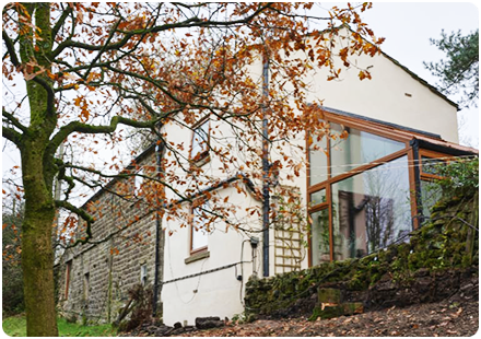
LandPack Subsidence Climate
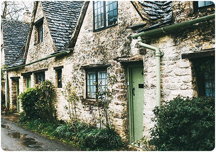
Subsidence risk for individual properties
Get the data to make faster, better decisions at property level.
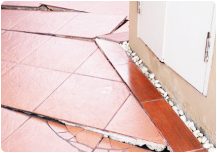
Reduce your Subsidence Risk
Download our emapsite Subsidence Risk sample

Get the data to make faster, better decisions at property level.
Download our emapsite Subsidence Risk sample