![]()
Energy and Infrastructure
Improving the value of data insights
We deliver the geospatial data services you need to keep energy and utility networks up and running, with minimum disruption.
Unique insights, better asset management.
- - Valuable insights on property management and asset maintenance
- - Predictive modelling to improve your works’ efficiency and contractors’ results
- - Unique line-of-sight & network mapping – increasing connectivity, reducing costs
- - Innovation at scale with machine learning, analysing your existing data

Contractors want access to data that reduces inefficiency. We spatialise your data to enhance asset management, improve predictive modelling, and deliver better ‘one customer’ services including:
- - Geospatial data.
- - Land analysis.
- - Property Intelligence.
- - Evidence-based decision-making.
- - Geoanalytics.
- - Machine learning.
- - Actionable insights.
- - Location Data-as-a-Service.
Maintaining assets efficiently
There’s more to maintaining assets efficiently than sending engineers out on a round trip on a regular basis. When you can understand your asset base in detail, and make intelligent evaluations from your desk, the costs of maintenance comes down instantly.
Efficient maintenance involves knowing which assets belong to you (and which don’t), where they're sited, who needs access to them, when, how, and which route or schedule would then be most cost-effective. A single point of truth is essential, but you’re often working with silos of data about assets that are constantly changing in the real world.
Our key insight, for contractors in particular? Understanding the location at and around an asset might have a huge impact on your workflows (and costs).
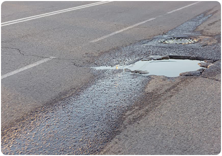
Imagine the team, for example, that arrives to carry out maintenance or repairs on a road-side asset - let's say there's a problem with a mobile mast - but hasn't realised the nearby road is designated as an A-road. That team might not have the right equipment, permits, or traffic control; they might not even have access to the site itself because it's behind a barrier or gate of some kind, and contact hasn't been made with the commercial owner.
“Which assets are costing us money, which ones are making us a profit?”

Spatialising for asset efficiency
For utility and phone or broadband providers in particular, it’s business as usual to liaise with contractors on forthcoming repair schedules or streetworks. Success depends on everyone being able to share data on meters, cables, pipes, buildings (and people) with confidence - and on understanding the location in which they're working, in detail.
We can deliver the insights needed to provide that data. Our team can reduce the time it takes for asset and proximity data to be collected, correlated, and given to the right contracting teams; we can help you to analyse your assets to deliver optimum results, and we can reduce the cost of licencing in the process.
Mitigating claims for liability
All kind of businesses have to explore liability, not just insurers. Property owners, for example. Commercial agents. Landlords – there are several reasons why a team may need to explore the assets on or ownership of a piece of land, on an ongoing basis. Utility companies in particular need to know who is liable for repairs.
Utility companies have a duty of care to their customers. What's more, while they might be penalised by the regulator for not carrying out repairs on time - they might also face unnecessary costs if repairs are done on assets that don't belong to them. In effect, doing the work almost 'by mistake', for firms who would have had maintenance contracts in that location. However, by linking up-to-date land parameters and information, accurately, to external third-party datasets, we can make it much easier to establish responsibility and liability for any given scenario.
“Who should fix these leaks, who should pay for these repairs?”
Spatialising to establish liability
We can use a combination of property datasets to run multiple queries, clarifying the status quo in regard to all kinds of liabilities. On the 2011 transfer of liability on private sewers, for example, we blended data giving us property ages and details about commercial property ownership - and this is an insight that we can deliver for landlords and housing associations right across the UK. You can read more about that liability and its implications here, on Ofwat's website.
We already work with many major utility providers, helping to evidence ownership in a way that substantiates who should pay for remedial works.