Aerial Imagery
Aerial imagery (sometimes called aerial photography) provides a bird's-eye view of the landscape, making it easier to understand the layout of the terrain. It captures detail about the Earth's surface, including topography, vegetation, water bodies, infrastructure and human activities which are often not visible through ground-based or map-based observations alone (e.g. roofs with solar panels).
Aerial imagery is useful for monitoring changes over time, such as deforestation, urban expansion or coastal erosion and visualising changes in land-use and environmental impact. It is also used as the basis for creating 3D models. It has become an indispensable tool in various industries, providing additional insight to support situational awareness, decision-making and in helping to satisfy legislative requirements for biodiversity, climate change and planning.
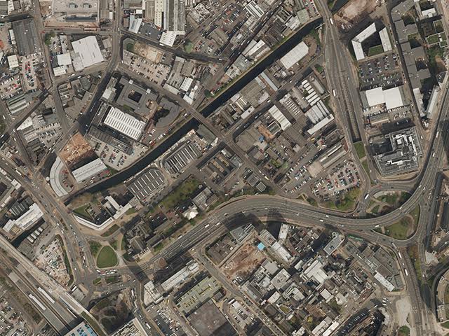
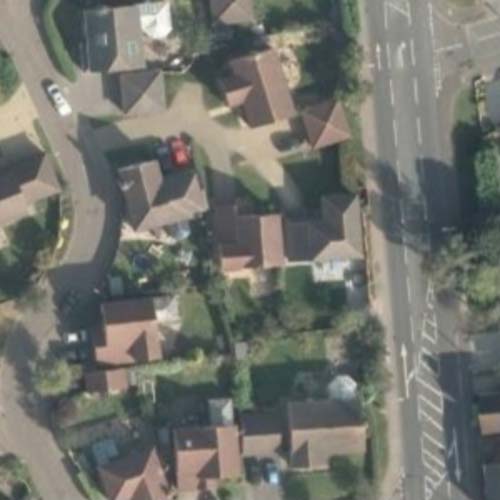
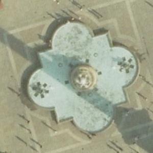
Emapsite licenses data licence data from the leading providers in Great Britain. We provide aerial imagery at various resolutions from 12.5cm (high resolution) to 2m (low resolution) to optimise price and performance for different use cases. Lower resolution data (e.g. 2m) enables visualisation and analysis of larger geographic areas for a similar budget. Higher resolution data provides more detailed insights with clear visibility of features

This describes the ground distance per on-screen pixel
12.5cm - Roof Tiles / Street Furniture
• Detailed urban and electric vehicle charging site planning
• Solar panel installation studies
• Asset management (identifying equipment, signs etc.)
50cm - building types, road networks
• Wildlife habitat mapping
• Regional development/infrastructure planning
2m - general land cover, larger scale planning
• Regional economic development planning
• National scale land use planning
25cm - Cars, Building Features
• Environmental impact assessments for development projects
• General property assessment
• Infrastructure planning and retail site analysis
1m - building footprints, agricultural fields
• Forestry management/agricultural planning
• Urban sprawl analysis


