
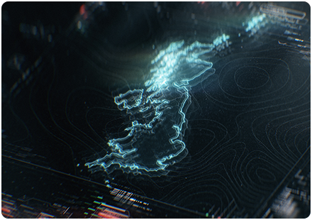
Know your geospatial data services – which one is right for you
WMTS (Web Map Tile Service), WFS (Web Feature Service), and WMS (Web Map Service) are all web-based geospatial data services that allow for the delivery of geographic data over the internet. However, each service serves a different purpose and has a different target audience.
WMTS is designed for the quick and efficient delivery of pre-rendered map tiles. It is used by web mapping applications to display geographic data, such as maps, satellite images, and terrain data, in a fast and responsive manner.
WFS, on the other hand, is designed to serve vector data, such as points, lines, and polygon features. It allows clients to request specific features, such as buildings, roads, or boundaries, and receive them in a format that can be displayed in a web-based mapping application or GIS software.

WMS is a service that serves pre-rendered map images. It is similar to WMTS, but instead of delivering pre-rendered tiles, it delivers a single, pre-rendered image for a specific geographic area and scale. WMS is often used by GIS professionals and organisations to serve their maps to a broader audience, such as the general public or other organisations.
So, in conclusion, WMTS, WFS, and WMS are all web-based geospatial data services that deliver according to the differing needs of various audiences.
- WMTS is designed for the quick and efficient delivery of pre-rendered map tiles.
- WFS is designed to serve vector data. You can find more about WFS here.
- WMS is a service that serves pre-rendered map images. You can find out more about WMTS & WMS here.
If we can assist further please don't hesitate to contact us.
Latest News

UK geospatial data licensing - A practical guide | Emapsite
Whether you're building a mapping application, producing client reports, or supporting operational decisions, understanding your mapping data licence in the UK is essential to staying compliant and controlling costs.
Read Full Article-
Six Location Data Challenges for Consultancies | Emapsite
Read Full Article -
Future-proofing Assets Against Flooding in Britain
Read Full Article