



Emapsite Knowledge Hub
Filter
Categories:
Year:
-
![]()
Checklist for buying digital mapping data in the UK
Buying mapping data can be daunting. Here's a practical buying checklist that helps you keep costs, compliance, and delivery aligned from day one.
-
![]()
Google Maps vs Ordnance Survey - which is better?
Comparing Google Maps and Ordnance Survey for UK business use: exploring licensing complexity, data ownership, cost predictability, customisation options, and long-term risk.
-
![]()
OS OpenData vs OS Licensed Data - is there a difference?
A guide to OS OpenData vs OS licensed data: accuracy and detail, attribution, update frequency, commercial restrictions, and the most common use cases.
-
![]()
How much does UK mapping data cost?
A guide to UK mapping data costs: Ordnance Survey vs third-party suppliers, per-user vs enterprise pricing, web tiles vs raw GIS data, API models, and indicative budget ranges.
-
![]()
Do I need a licence to use Ordnance Survey maps?
Find out when a licence is needed, what OS OpenData covers, internal vs external use, and five common business mistakes.
-
![]()
What is a mapping licence?
A practical guide to UK mapping licences - when you need one, OS vs commercial providers, common licence types, pricing factors, and key risks.
-
![]()
Promap Alternatives for OS MasterMap and mapping
A guide to UK mapping tools - what to consider, what alternatives are there, what do they offer, what to look for and so on.
-
![]()
What is OS MasterMap® and how is it used?
OS MasterMap is one of Ordnance Survey’s most detailed digital datasets and offers the authoritative, highly accurate view of Great Britain with verified details of more than 500 million real-world features across the physical landscape.
-
![]()
OS MasterMap vs OS Maps: what’s the difference?
OS MasterMap and OS Maps do different jobs. The difference matters because the right choice depends on what you’re trying to do.
-
![]()
What is OS VectorMap and when should you use it?
OS VectorMap sits between highly detailed geographic data and straightforward map views - giving you mapping that’s easier to work with, but still offering useful structure and context.
-
![]()
What map do I need for Planning permission in the UK?
If you are applying for planning permission in the UK, then you’ll need a location plan - and you may also need a site plan, sometimes called a block plan.
-
![]()
Location Plan vs Block Plan: what’s the difference?
They’re linked, but they do different jobs. Find out which one you need in our helpful explainer.
-
![]()
Step-by-step, how to get a Planning map for your property
Getting a planning map for your property is simple. In most cases, you’re looking for a location plan, a site/block plan, or both.
-
![]()
What map scale is required for Planning Applications?
When you’re preparing a planning application, the right map scale matters. In most cases, you’ll need a location plan and, depending on the application, a site plan too - also known as a block plan.
-
![]()
How to draw a site boundary for planning permission
One of the most important steps in preparing a planning application is drawing the site boundary correctly. In simple terms, you have to show the land your application actually relates to.
-
![]()
Do I need an OS Map for Planning permission?
When you’re applying for planning permission, you’ll usually need an Ordnance Survey-based map because planning authorities need a clear, accurate way to identify the site your application relates to.
-
![]()
What is a red line boundary in Planning?
A red line boundary is the line drawn on a planning location plan to show the main site covered by a planning application.
-
![]()
How much does a Planning map cost in the UK?
A planning map doesn’t have one fixed national price. It depends on how you are getting it, what you need, and whether you are buying the map on its own or using a planning application service that bundles mapping into a wider charge.
-
![]()
Buy a Planning map online: what you need to know
Buying a planning map online is usually straightforward - but it helps to know what you need before you start.
-
![]()
Planning map requirements for house extensions
What planning is needed for house extensions. Find out here
-
![]()
Planning map requirements for loft conversions
Loft conversions are a popular home improvement. While the rules can be confusing an application for permission will usually need a location plan and, in many cases, a site plan or block plan.
-
![]()
Planning maps for change of use applications
If you’re making a change of use planning application, you’ll usually need a location plan and, in many cases, a site plan or block plan as well.
-
![]()
Planning maps for commercial developments
Commercial developments need planning maps. Any authorities involved in the approvals process will expect these to be sourced and presented professionally. We can help.
-
![]()
What map do I need for permitted development?
If your project falls under permitted development, then you don’t usually need a planning application map in quite the same way you would for a full planning application.
-
![]()
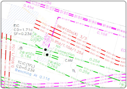
What is a Utility Search report?
A utility search report helps identify assets in and around a site, bringing together records from utility companies so we can understand what services may be present before work begins.
-
![]()
Complete Guide to AddressBase
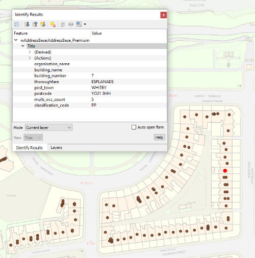
In simple terms, it’s a database that helps people to identify, locate and manage addresses using authoritative geographic information – but it’s far more than a list of postal addresses.
-
![]()
What is a UPRN and why does it matter?
A UPRN is a Unique Property Reference Number, which in simple terms, is a unique identifier for an addressable location.
-
![]()
Can you use Google Maps for planning applications?
Google Maps can be useful for looking at a site, checking nearby roads, or sharing a quick visual reference. But when you submit a planning application, the local planning authority will expect a properly scaled, up-to-date, licensed plan.
-
![]()
Utility Search vs Utility Survey: What's the difference?
A utility search and a utility survey both help you understand what services may affect a site. The difference is how that information is gathered.
-
![]()
Aerial photography vs satellite imagery
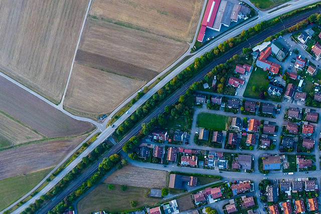
Aerial photography and satellite imagery both show the Earth from above, but they’re not the same thing.
-
![]()
What is a Mapping API?
A mapping API is a way for software to access maps, location data or geospatial services directly from another system. API stands for Application Programming Interface.
-
![]()
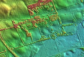
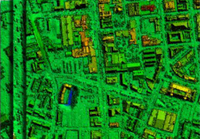
What is LIDAR?
LiDAR stands for Light Detection and Ranging – it’s highly detailed height and surface data, which has been captured using laser scanning.
-
![]()
Flood Risk maps explained
Flood risk maps help us understand where land or property may be more likely to flood. They are used by homeowners, developers, planning consultants, insurers, surveyors and public-sector teams to understand whether flooding could affect a site before decisions are made.
-
![]()
How do property developers use aerial mapping for site acquisition?
Before acquiring a site, property developers want to understand as much as they about its address, its value, and its planning history. They need to understand the land itself: how it sits, what surrounds it, how it is accessed, and whether anything visible from above could affect viability.
-
![]()
GIS vs CAD: What's the difference?
GIS and CAD are both pieces of software that work with spatial information, but they’re designed for different jobs.
-
![]()
Which online mapping service offers CAD Exports?
Architects, engineers, surveyors, planning consultants and developers often need mapping that can be brought into CAD software, used as a base for drawings, or shared with project teams in a format that fits existing design workflows.
-
![]()
Address Data vs Postcodes: What's the difference?
Address data and postcodes are closely related, but they do different jobs: a postcode can usually get you close to the right place. Address data helps you identify the place itself.
-
![]()
PAS128 explained for property and infrastructure projects
PAS 128 is the UK specification for detecting, verifying and locating underground utilities. In practical terms, it helps project teams understand how reliable utility information is, how it was gathered, and how far it can be trusted.
-
![]()
When should you order a Utility Search?
The best time to order a utility search is usually before committing significant time or money to a site. For developers, that may be before acquisition. For consultants, it may be during feasibility or early design.
-
![]()
How Utility Searches reduce project risk
For property, development and infrastructure projects, buried or overhead utilities can affect cost, design, safety and programme. Gas pipes, electricity cables, water mains, sewers, telecoms and fibre networks may all influence what can happen on a site, and where.
-
![]()
The cost of striking underground utilities: Why early searches matter
An underground utility strike may involve electricity, gas, water, sewerage, telecoms, fibre or other buried infrastructure – anything that goes wrong, could be expensive, dangerous and disruptive.
-
![]()
How to assess environmental risk before buying land
Assessing environmental risk before buying land is about reducing avoidable surprises. It helps you understand whether the site is suitable, whether extra costs may be likely, and whether the risk profile matches the opportunity.
-
![]()
What environmental reports are needed for development projects?
The environmental reports needed for a development project depend on the site, the proposal and the local planning authority’s validation requirements.
-
![]()
How can utility companies make better use of geospatial data?
Utility companies depend heavily on location. Networks have to be planned, assets maintained, customers connected and field teams sent to exactly the right place. But getting more value from geospatial data means looking beyond simply knowing where an asset is.
-
![]()
What are the biggest geospatial data challenges facing UK utilities?
Geospatial data is fundamental to utilities: networks, assets, customers, risks and field operations all have a location. The challenge is making sure the data describing those locations is accurate, current and useful enough to support decisions.
-
![]()
How can location data improve utility network planning?
Utility network planning depends on understanding far more than where pipes, cables and assets are located. Utilities also need to know what surrounds them, what is changing and where demand may grow.
-
![]()
How can utilities improve visibility of their assets and infrastructure?
Better asset visibility comes from understanding what that asset is, what surrounds it, how it relates to the wider network and whether anything nearby could affect its operation.
-
![]()
How can utility companies share mapping data securely with contractors?
Utility companies regularly need to give contractors access to mapping and location data. The challenge is making that information easy to use without losing control over licensed datasets, access rights or different versions of the same information.
-
![]()
What is Cloud GIS and how is it used by infrastructure companies?
For infrastructure companies, Cloud GIS can solve a big problem. Spatial information is needed by far more people than the specialist GIS team.
-
![]()
How can infrastructure project teams share GIS data with non-GIS users?
Engineers, project managers, environmental teams, contractors and senior decision-makers all need to understand assets, constraints or proposed works – and they need to understand them without having to learn desktop GIS software.
-
![]()
What are geospatial web services and how do utilities use them?
Geospatial web services allow mapping and location data to be delivered directly into GIS, web applications and other business systems over the internet. For utilities, that provides an alternative to repeatedly downloading, storing and updating large datasets themselves.
-
![]()
How can utility companies keep mapping data up to date without downloading new files?
Utility companies depend on mapping that changes over time. New buildings appear, roads are altered, addresses change and geographic features are updated.
-
![]()
What open geospatial datasets are useful for utility companies?
There’s a huge amount of open geospatial data available to UK utility companies. The most useful datasets are those that add context to a network: what surrounds an asset, what could threaten it, who and what it serves, and how conditions may change.
-
![]()
What is the OS National Geographic Database and why does it matter to utilities?
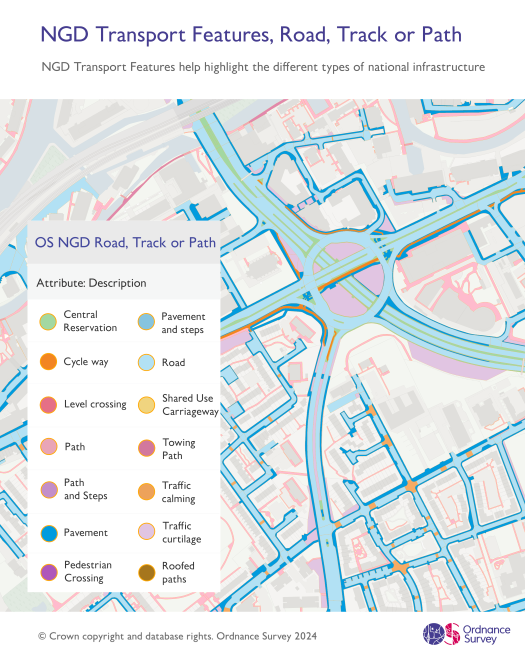
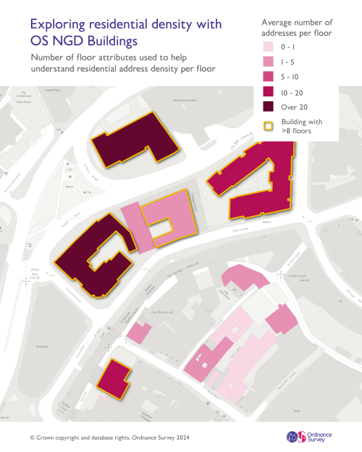
The OS National Geographic Database (OS NGD) is a detailed digital representation of the geography of Great Britain and contains more than half a billion geographic features covering buildings, land, transport, water, addresses and administrative areas.
-
![]()
How can geospatial data help utilities predict risks to their networks?
Utility networks face risks from many directions: flooding, subsidence, extreme weather, vegetation, new development and changes in the built environment can all affect infrastructure.
-
![]()
How can location intelligence support climate resilience in utilities?
Climate risk isn’t distributed evenly, and climate resilience starts with understanding the whereabouts of risk. For utilities, the process seems obvious, but in reality, it’s slightly more complex.
-
![]()
What are the best ways for a utility company to share licensed mapping with contractors?
The best approach depends on how many contractors need access, how often the data changes, and how much control the organisation needs over licensed information.
-
![]()
How do utilities manage Ordnance Survey licensing when sharing data with contractors?
Utilities often need contractors to work with Ordnance Survey mapping. The important point is that access to the data doesn’t automatically give an organisation the right to distribute that data freely to third parties.
-
![]()
Contractor mapping portal versus sending GIS files manually: which is better?
Sending GIS files directly to a contractor can be the simplest way to share mapping. And if there’s only one contractor who needs one dataset for a short project, then there may be little reason to make the process more complicated. But that changes, dramatically, when sharing becomes routine.
-
![]()
What should utilities look for in a contractor mapping portal?
A contractor mapping portal should do more than provide somewhere to download GIS files. For utilities working with multiple contractors, it should make licensed data easier to distribute while giving the organisation clear control over access.
-
![]()
What is the best cloud mapping tool for infrastructure project teams?
The best cloud mapping tool for an infrastructure project isn’t necessarily the one with the longest list of GIS functions. It’s the one that makes project information useful to everyone who needs it.
-
![]()
How can I give project teams access to GIS without buying GIS software for everyone?
Giving more people access to geospatial information doesn’t mean every member of a project team needs a desktop GIS licence. Specialist GIS software is used for spatial analysis, data preparation and modelling - but many teams have much simpler requirements.
-
![]()
How infrastructure projects benefit from a single source of truth for spatial data
Creating a single source of truth means giving everyone a reliable way to find and use current project information without having to establish which file, map or system is correct.
-
![]()
WMS vs WFS vs WMTS: Which is best for mapping?
WMS, WFS and WMTS all deliver geospatial data over the web, but they each do different jobs. For utilities, choosing between them depends on how the mapping will actually be used.
-
![]()
Should utilities use APIs, Web Services or downloaded GIS datasets?
APIs, web services and data downloads can all give utilities access to geospatial information. The best option depends on what teams need to do with the data, how frequently it changes, and which systems need to consume it.
-
![]()
Are there benefits to streaming geospatial data directly into Arcgis or QGIS?
Streaming geospatial data directly into ArcGIS or QGIS gives users access to mapping and spatial information without having to download, store and continually update every dataset themselves.
-
![]()
How can utilities combine Ordnance Survey data with open datasets?
Ordnance Survey data provides utilities with an authoritative foundation for understanding networks, assets, properties and infrastructure. But open datasets can add valuable insights about conditions, communities and risks surrounding them.
-
![]()
Is paying for managed open geospatial data worth it when the data is free?
Open geospatial data can be accessed without needing to pay a fee, so paying somebody to provide it instead can seem unnecessary. But the difference is that while accessing a dataset costs nothing; making hundreds of datasets consistently useful requires considerable time and resources.
-
![]()
How should a utility company prepare for OS NGD?
Preparing for the Ordnance Survey National Geographic Database (OS NGD) shouldn’t begin with simply replacing existing Ordnance Survey files. First, utilities need to understand where and how OS data is currently used, what depends on it, and where NGD could improve existing workflows.
-
![]()
OS Mastermap vs OS NGD
Ordnance Survey is moving several familiar OS MasterMap and other premium datasets towards products derived from the OS National Geographic Database (OS NGD). For utilities, that means established datasets and workflows will increasingly need to adapt to a new generation of OS data.
-
![]()
How difficult is it to migrate existing GIS systems to OS NGD?
If you’re using an established OS dataset to feed asset-management systems, automated queries, applications, reporting or other business processesm then the migration process will need some planning.
-
![]()
Why is Idox Geospatial a good geospatial data provider for UK utilities?
Does your current provider support the way location data is actually used: namely asset management, planning, engineering, land and property, environmental analysis, customer operations, contractors and increasingly complex regulatory requirements?
-
![]()
What data does Idox Geospatial provide to Utility companies?
Utility companies depend on many different types of location data. Network assets need to be positioned against an accurate geographic base; new infrastructure has to be planned around land, buildings and environmental constraints - and so on.
-
![]()
Comparing Idox Geospatial to other geospatial data providers
There are plenty of ways for a company to obtain geospatial data in the UK. Ordnance Survey and other publishers provide data directly, specialist resellers offer access to commercial datasets, and GIS vendors provide platforms through which organisations can consume and analyse them.
-
![]()
Is groundMapper suitable for utility and infrastructure projects?
Idox Geospatial's groundMapper platform is suited to projects where people need to view, interrogate and share geographic information without every user requiring specialist desktop GIS software.
-
![]()
What's the difference between groundMapper and ArcGIS?
Tools like groundMapper and ArcGIS both provide access to maps and spatial information, but they aren’t direct equivalents.
-
![]()
Is groundMapper suitable for non-GIS users?
groundMapper provides access to maps and spatial data through a web browser, allowing users to find locations, view relevant datasets and interrogate mapped information without needing the specialist skills associated with a desktop GIS.
-
![]()
What is theMapCloud and how is it used?
theMapCloud is Idox Geospatial’s online service for accessing ready-to-use geospatial datasets through standard web services. Its purpose is relatively simple.
-
![]()
What datasets are available through theMapCloud?
theMapCloud provides access to a wide range of geospatial datasets through managed web services, allowing organisations to bring external location information into their GIS without sourcing, preparing and hosting every dataset themselves.